On November 24, Prof. Hilde de Weerdt presented “Infrastructures and Chinese County and Prefectural Maps” at the MacLean–KU Leuven workshop “How Did They tu It?”
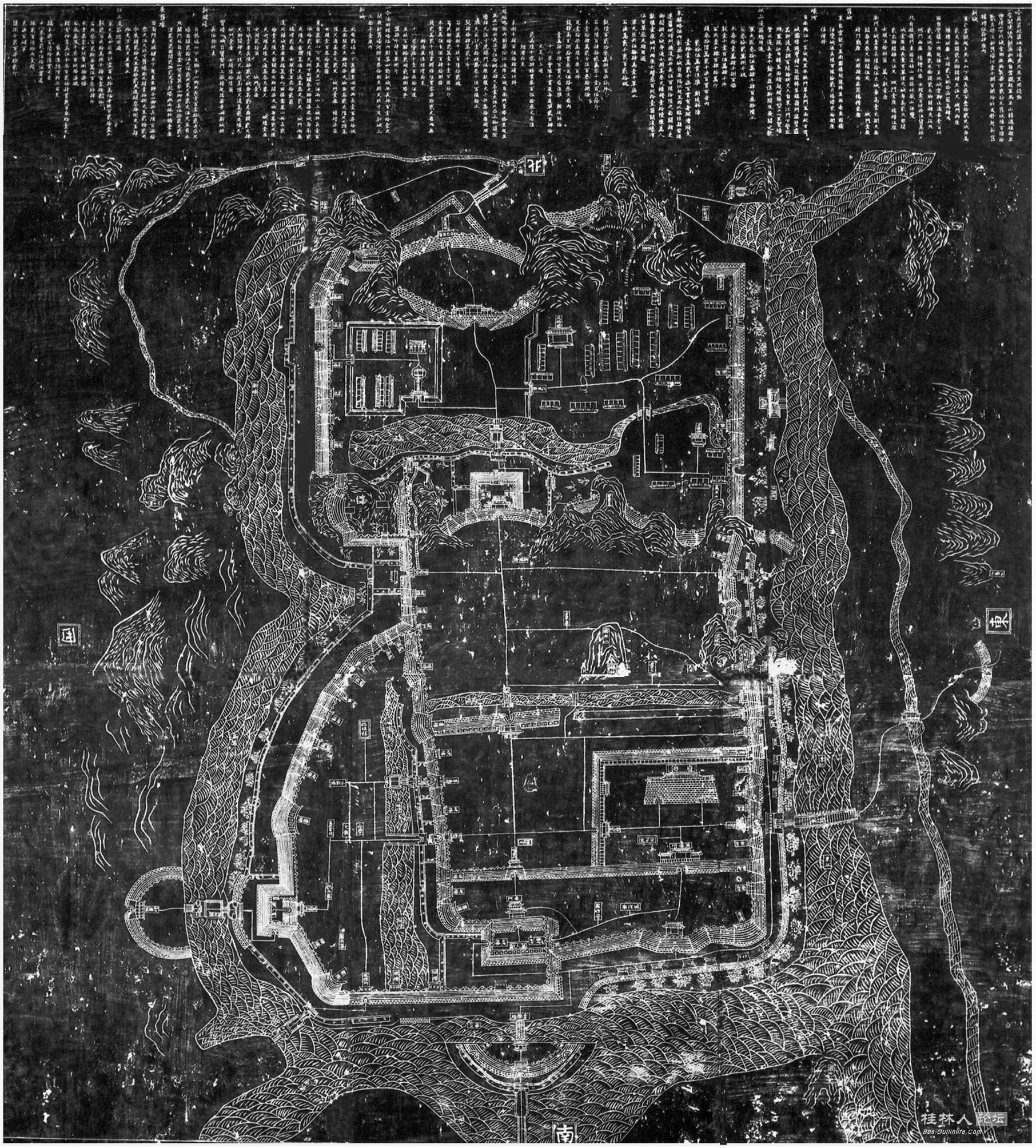
The discussion focuses on one example of a walled settlement map engraved on a rock surface and asks how such infrastructural stele maps relate to other types of infrastructural maps (e.g., manuscript maps enclosed in government dossiers and gazetteer maps). Why were they carved on stone or rock, placed on mountain cliffs, for whom, and (how) were they read over time?