
Common goals
Regionalizing Infrastructures in Chinese History (RegInfra) is a research project sponsored by the European Research Council (Horizon 2020, ERC Advanced Grant No. 101019509). The Lives and Afterlives of Imperial Material Infrastructure in Southeastern China (InfraLives) is a research project sponsored by the Dutch Research Council (NWO, Open, No. 406.20.HW.006). Both projects were conceived and are led by Hilde De Weerdt, Professor of Chinese and Early Modern Global History at KU Leuven.
The two projects critically analyse how large-scale infrastructures such as city walls, roads, and bridges contributed to regional and empire-wide integration, but equally why and how processes of integration regularly broke down, and how infrastructure projects contributed to countervailing trends including local tensions, local autonomy, and cross-border regional formations in late imperial Chinese history (ca. 1000-1800). The preliminary pilot investigation of records on city walls covering three provinces during the Ming Dynasty (1364-1644) demonstrated the feasibility of the project’s envisioned methodology and highlighted significant differences in the timing and spatial distribution of construction events, in the types of agents involved in project management, and in materials, features, and causes of deterioration and reconstruction across different regions.
InfraLives and RegInfra offer an unprecedented longue durée empirical investigation and critical analysis of key material infrastructures. By putting these infrastructures at the centre of a comparative investigation we will explain how infrastructures have mediated and reshaped relationships in a variety of dimensions of social life. On the basis of a fine-grained digital annotation of hundreds of primary sources on construction, destruction, and renovation events and a spatial analysis of the extracted data and data harvested from archaeological reports, we will examine how infrastructures as material “media of social integration” intervened in often conflicting ways in the relationship between a) centre and periphery and urban and rural areas; b) central control and everyday life; c) state and local economic life; d) security and violence.
The two projects aim to:
1) map the appearance and disappearance of large-scale infrastructures across the Chinese and select neighboring territories between 1000 and 1900 on an open access spatial analysis platform based on the extant textual and archaeological record;
2) conduct comparative spatial analyses of the distribution of particular features of these infrastructures, their construction, maintenance, breakdown, uses and cultural meanings and developing a regional history of infrastructures on this basis;
3) compare data derived from the large historical textual record and from modern archaeological reports and the photographic record and modelling processes of infrastructure development and decline;
4) publish research in the fields of history, digital archaeology, and critical infrastructure studies that will substantially revise existing Chinese historiographies on the nature, durability, and efficacy of large-scale infrastructures and contribute to emerging historiographies that place socio-economic and cultural developments in regional contexts and cross-border contact zones;
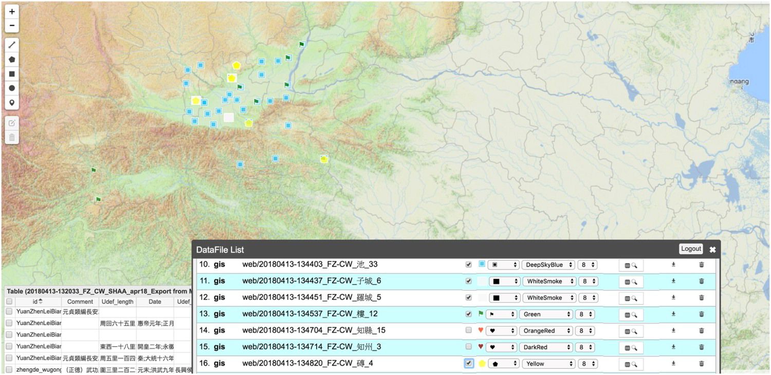
5) develop an event-based digital annotation method that will be generalized and made available for broader use in digital humanities projects in various languages;
6) develop a method for the automated extraction of data on infrastructure in Chinese local gazeteers and archaeological reports
7) foster broader debate about the past and present uses and meanings of imperial infrastructures and about the uses of the digitization of material infrastructures.
Different emphases
InfraLives has a distinct geographical focus. Infralives researchers will systematically compare historical infrastructure projects and remains in the Southeast coastal areas in order to 1) examine different ecological and socio-economic areas away from the traditional metropolitan areas in the north; 2) test the salience of broader spatial contexts within which to interpret Chinese history by examining the relationship between infrastructures within the Southeast Asian maritime zone of which Southeastern Chinese regions form part.
InfraLives also houses a broad range of social impact activities. In order to engage with social interest in material infrastructures and their digitization, we are planning several events including a workshop on the material aspects of construction, an exhibition featuring graphic representations of walls, a discussion on belonging and separation as expressed and constructed in graphic media representing walls, a roundtable among historians, archaeologists, architects, and contractors on current practices in the digital construction and reconstruction of material infrastructure. We are also collaborating with local partners to produce bottom-up stories about contemporary uses of historical infrastructures and with industry to make our data available through linked open data.
RegInfra, on the other hand, aims to develop a comprehensive event-based social history of material infrastructures based on the digital annotation of documentation on city walls, bridges, and roads throughout the Chinese territories. The project aims to identify regional clusters through quantitative analyses of this data, and also aims to address the challenge of how to connect macro- and meso-level data analysis with micro-level close readings of individual cases.