On November 3, Professor Hilde De Weerdt will present "Chinese City Views and City Plans in Early Modern Europe" at the Max Planck Institute for the History of Science in Berlin.
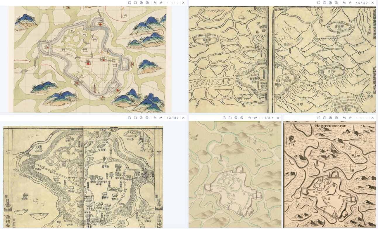
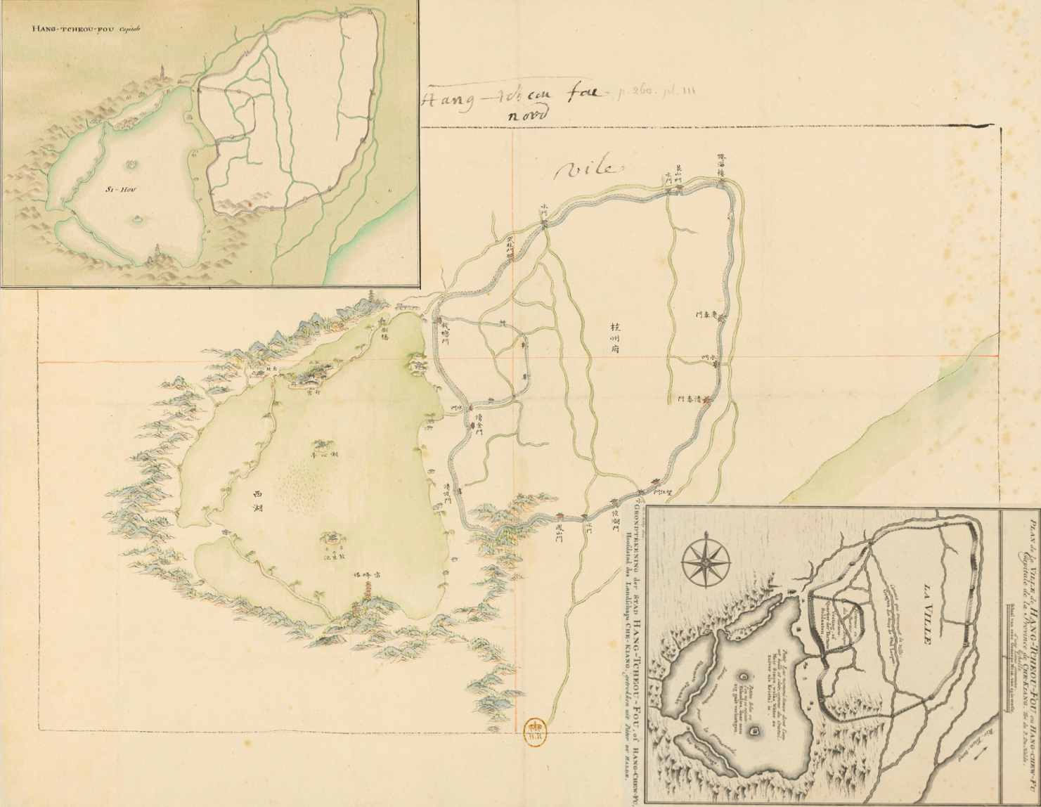
In this presentation Professor De Weerdt revisits earlier debates about the slow transition from city views to city plans in early modern European urban cartography, using a set of hybridised Chinese county maps brought to France in the 1730s and tracing their adaptation and reinterpretation as city plans in the hands of a French geographer and editor as well as a handful of European engravers. Questions to be discussed include how these maps fit into the global history of the cartographic rendering of urban and specifically infrastructural space and how they sat in broader discussions of Chinese cities as both “all the same” and “particular.” I propose that a deep analysis of how hybridisation works results in new findings about the history of both Chinese and European local cartography.
Register for the event: https://www.mpiwg-berlin.mpg.de/event/chinese-city-views-and-city-plans-early-modern-europe